Statistics - Geodata - OpenData
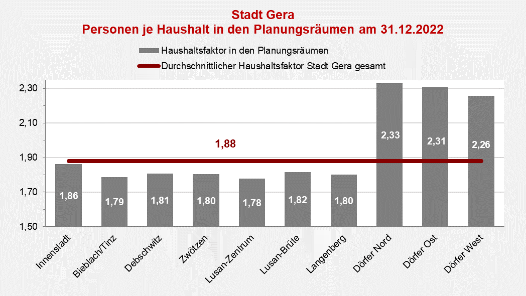
Buildings - Apartments - Households
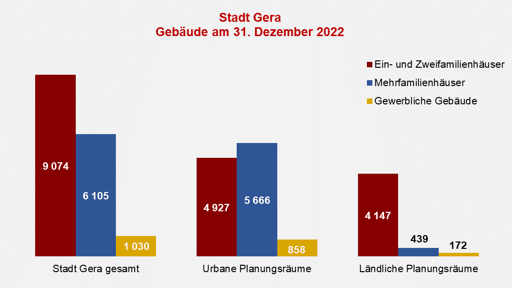
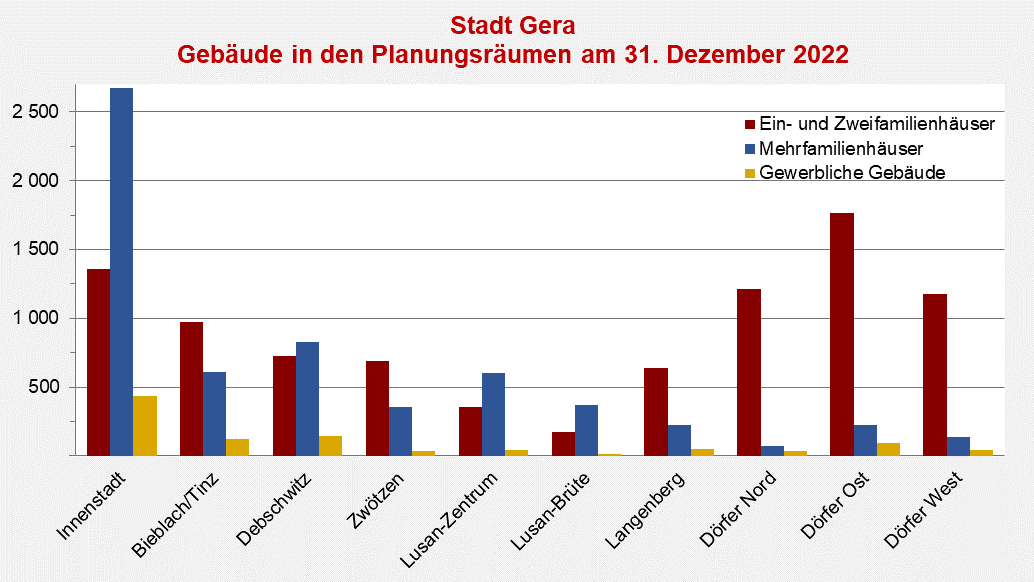
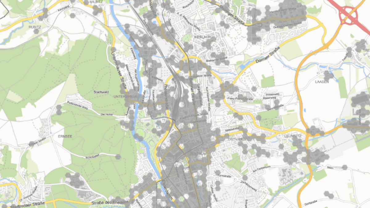
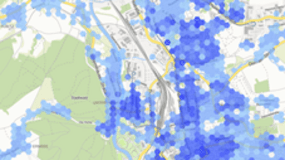
In the city area, an area of 3.4 square kilometers is built up with around 17,000 buildings. More than 90% of the buildings are apartments.
Maps
(Kopie 1)
© pixabay
Statistics - Geodata - OpenData
Population, [Translate to Englisch:] Statistik, pixabay

© pixabay
[Translate to Englisch:] Statistik
Population
[Translate to Englisch:] Die Bevölkerungsstatistik liefert Daten über Zahl und Struktur der Geraer Bevölkerung sowie deren kurz- und langfristige Entwicklung.
Street directory, [Translate to Englisch:] Statistik, Stadt Gera

© Stadt Gera
[Translate to Englisch:] Statistik
Street directory
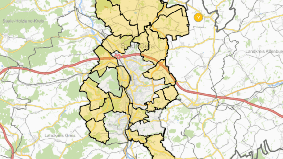
[Translate to Englisch:] 16.700 Hausnummern in 761 Straßen, Wegen und Plätzen.
Maps of the city, [Translate to Englisch:] GeoPortal, Stadt Gera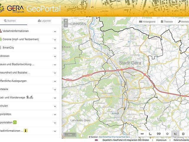

© Stadt Gera
[Translate to Englisch:] GeoPortal
Maps of the city
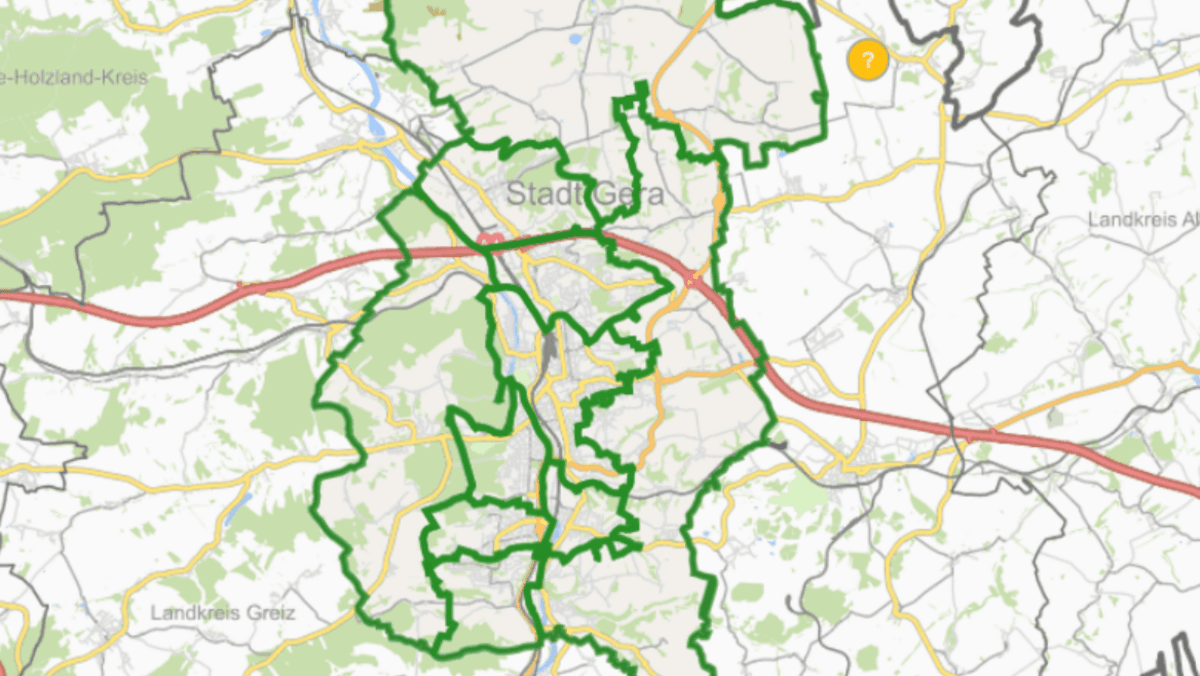
[Translate to Englisch:] Gera und seine Orte auf Karten entdecken.
