Statistics - Geodata - OpenData
Street directory
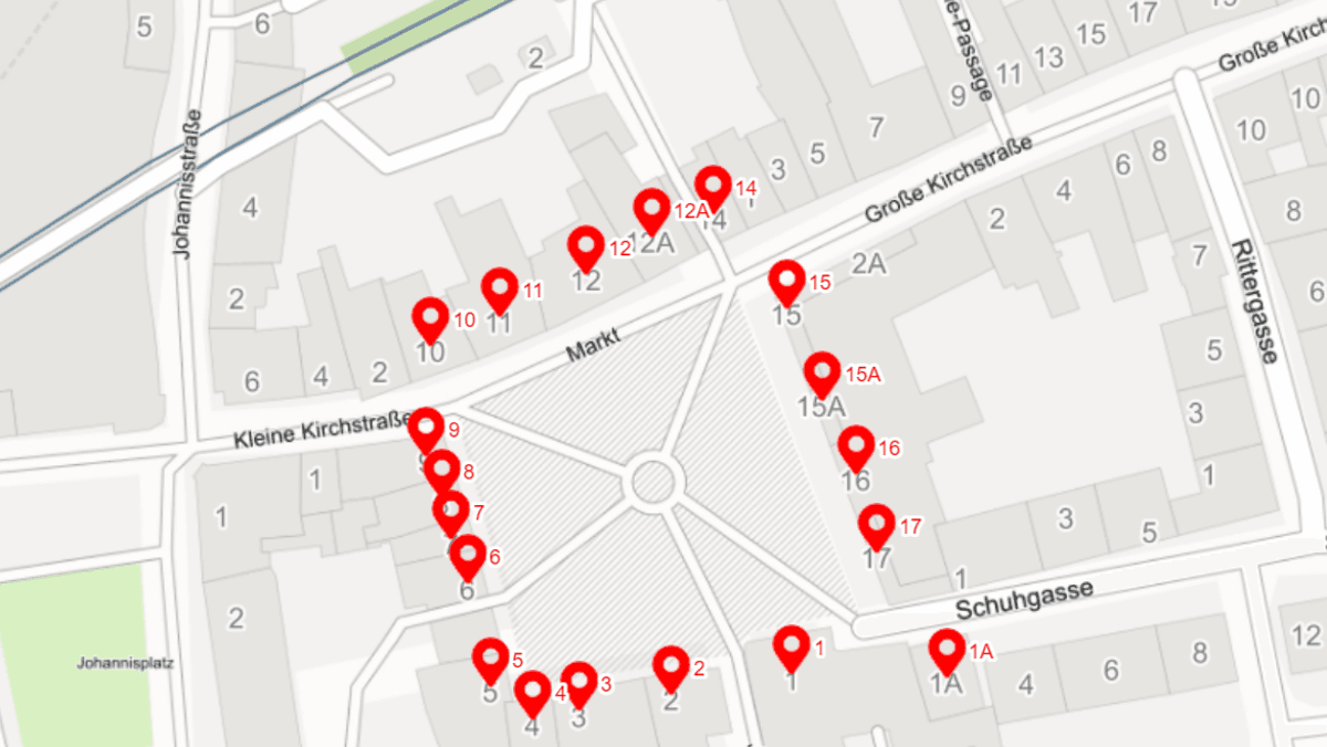
More than 16,000 house numbers in 766 streets, paths and squares.

Maps
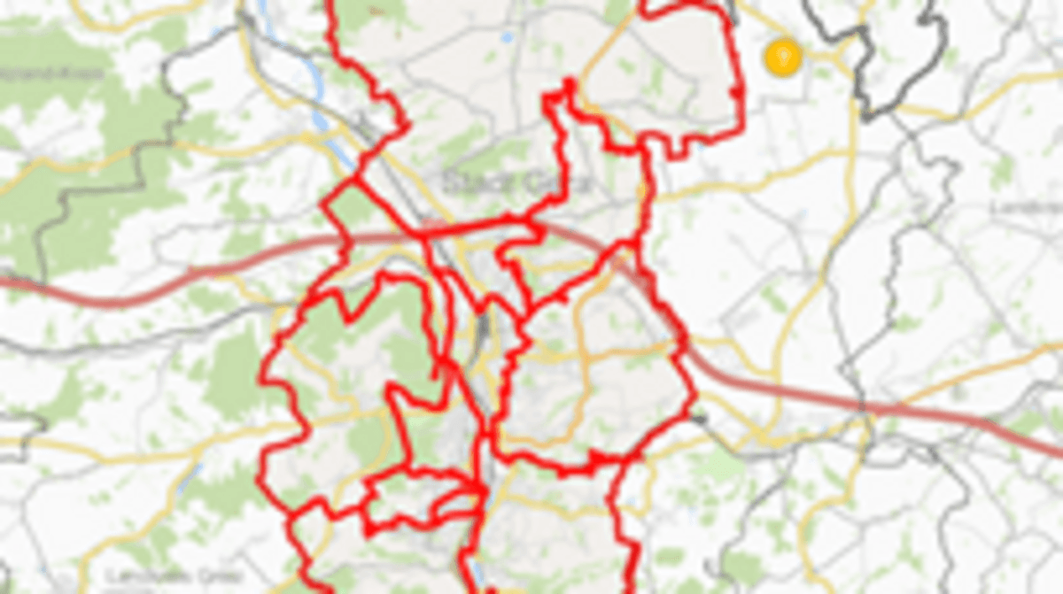
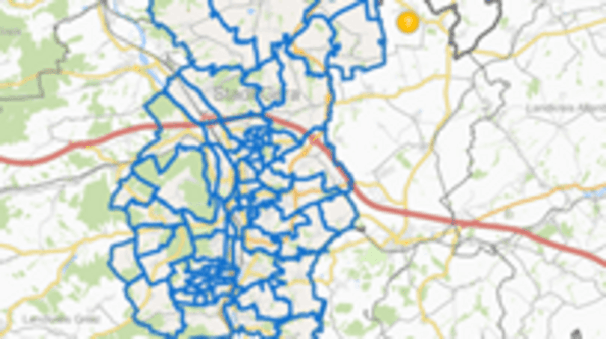

The annual street directory contains the official spelling of street names, street numbers, zip codes and the allocation to statistical districts and municipal districts. It contains a map of the statistical structure and an overview of the statistical districts and municipal districts of the city of Gera.