Statistics - Geodata - OpenData
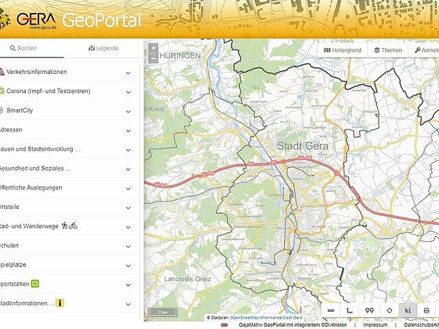
Maps of Gera in the GeoPortal
Discover Gera and its places on maps.
New Maps
Frequently searched cards
All Maps
Maps of the urban area to illustrate various interesting topics: From playgrounds and baby changing points to urban development plans and districts with population figures to places of interest, sports and leisure facilities.
Quick guide GeoPortal
- View quick guide
To help you find your way around, our city mascot Gero will navigate you through the GeoPortal and show you the most important functions.


