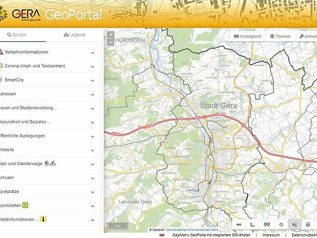
Topics with search function
Addresses
All official addresses of the city of Gera with information on whether the address is in the broadband expansion area.
Building and urban development
- Urban land-use planning/statutes
Information and plans for urban land-use planning by type of use (commercial use, mixed use, special use, residential use) and type of procedure
- Gaps between buildings
- Parcels
Parcel search by parcel number
- Assisted areas
Status, statutes, area, main residences, residential units and much more
- Commercial and industrial areas
Size, current occupancy, available space, transport connections
Education, health, social affairs
Only those institutions are listed with contact details that have agreed to publication in the GeoPortal!
- Health
Doctors, pharmacies, therapists, midwives, alternative practitioners, podiatrists
- Social affairs
Meeting and advice centers
- Breastfeeding and changing points
Brief profile (contact details/website)
- Kindergartens
Brief profile (contact details/website)
- schools
Schools of all types (including music schools, elementary schools and universities) with contact details
Public displays
If this section is empty, there are currently no current public displays.
- Public displays
Publication of the current public interpretations including the associated plans and material.
SmartCity
- SmartCity-Standorte in the urban area
Visitor counting, calisthenics facility, digital lighting, LoRaWAN gateway, LoRaWAN sensor, solar bench, solar bench with bicycle tools, city guidance system with QR code
- SmartCity-Cockpit
Visualisierung der relevanten Daten
City information
- Districts
Districts with number of inhabitants, number of housing units, area and constituency affiliation
- Tourist places
Railroad station, library, bath, leisure, church, culture, museum, park, garden, sights, sports, tourist information, city service with contact details
- Cycling and hiking trails
Cycling and hiking trails with short descriptions and search for memorial stone, natural monument, rest area, hiking hut, city forest gate, information board, bat detector and much more.
- Playgrounds
All public playgrounds with information on area, user group (age group) and the installed play equipment, provided the responsible body has agreed to publication in the GeoPortal.
- Sports facilities
Bathroom, sports hall, sports field, stadium, club-owned sports facility with contact details, sports area and directions.
Statistics
- Statistical district, municipal district, planning area, city
Statistical breakdown levels with area and number of main residences and housing units
Traffic information

Quick guide GeoPortal
- View quick guide
To help you find your way around, our city mascot Gero will navigate you through the GeoPortal and show you the most important functions.