District Aga
![[Translate to Englisch:] . © Dieter Winkler](/_next/image?url=https%3A%2F%2Fcms.gera.de%2Ffileadmin%2Fgera_de%2F_processed_%2F4%2F5%2Fcsm_Gaga-Schulstr-KircheGaga_D._Winkler_98a9f7c464.jpg&w=3840&q=75)
Data and facts
| Name of the district | Aga |
| with the localities | Großaga, Kleinaga, Lessen, Reichenbach und Seligenstädt |
| District of the city of Gera since: | 1. April 1994 |
| Surface area: | 1.628 ha |
| Population: (as at: 31.12.2022) | 1.556 |
Location and transport connections
| Location | Aga is located in the northern part of the city, directly on the border with Saxony-Anhalt. It is bordered by the B 2 and the "Elsterhänge" to the west. The slightly undulating plateau is predominantly characterized by agricultural land. Larger contiguous forest areas are located in the northern part. |
| Utilization: | The existing, established villages are strongly village-like in character and reflect the historical combination of agricultural and residential use in terms of design. The arable land is farmed by a number of agricultural enterprises, including the Reußische Gütern. Small craft and service businesses are located here. Raw material deposits (sand/clay) are located to the east of Aga. |
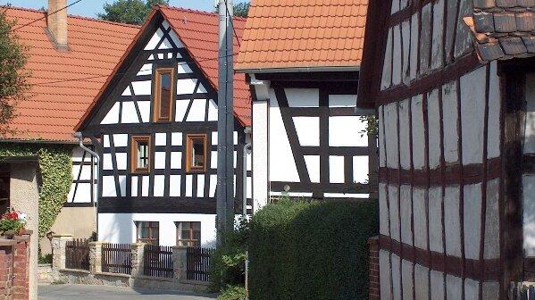
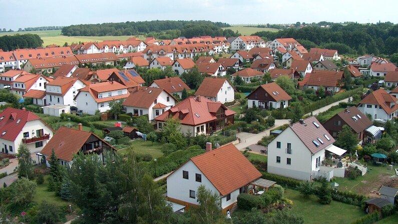
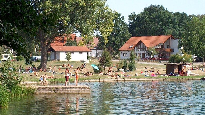
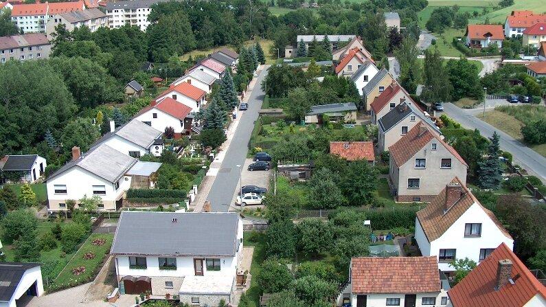
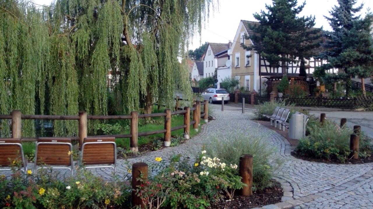
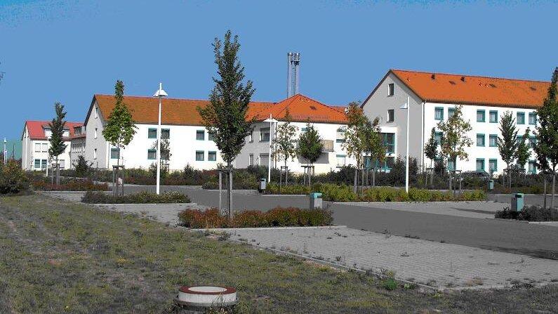
| Landscape and site design: | The eastern part of Aga is a morphologically varied area, while the western part has wooded slopes. The landscape is characterized by farmland and meadows. The surroundings of Klein- and Großaga are particularly attractive due to several lakes and floodplains. The integration of the established villages into the landscape is given due to the strong greening with trees and shrubs typical of the landscape. The street structure is village-like. The development structure of the districts is characterized by many agricultural farmsteads (e.g. four-sided farmsteads). The "Am Schleifenacker" housing estate was built in Kleinaga in the mid-1990s. The striking church is located in Großaga. |
| Transport connections: | The district of Aga can be reached from Gera on the B 2. The inner connection is via municipal roads and three junctions that are connected to the B 2. Aga can be reached by public transport via bus routes 228 and 229 of Regionalverkehr Gera/Land GmbH from the "Duale Hochschule" transfer point. |
History
Großaga
Documented since 1248 - with Heinricus de Ogau from the knighthood of the Gera sovereign.
The place name: 1364 Grossen Agow, Agowe, 1518 Agaw, 1533 großen Agaw, 1564 großen Aga, major Aga, Groß Agau, Groß Aga, dialectally around 1870 "Oge or Grussoge" but today rather as "Oche Ache". Sources describe the village as a German successor to the older Wendish settlement of Kleinaga.
With changing owners, the village remained a knight's seat until 1712. In 1715, Heinrich XVIII Reuß-Gera acquired the completely over-indebted estate of Hans Friedrich von Wolframsdorf, who had died in 1712, by paying off a considerable amount of debt. The former knight's seat became a princely estate. The last tenant until 1945, Max Vogel, developed the Kammergut, which was united with Kleinaga, into a model farm for seed breeding and livestock farming. After 1945, the Kammergut became a people's estate (VEG).
While Großaga was essentially characterized by knightly and chamber estates, a prosperous, ambitious farming community developed in constant, tough conflict with the landed gentry, which, however, dissolved under the social conditions of the GDR due to considerable political pressure in the agricultural production cooperatives (LPG) and was unable to find a new upswing after the fall of the Berlin Wall.
Kleinaga
According to differing interpretations, Kleinaga is a Sorbian-Wendish foundation.
Historically, the village consisted of two communities. The "Froschweide" district had a special status for a long time. Its origin is derived from the relocation of the inhabitants of the former German foundation Rödel, which had become deserted (today still the name of the nearby Rödelholz). Even today, this special feature can be recognized spatially.
The Kleinaga manor was already closely connected to the Großaga manor in early times. Around 1570, Meinhardt von Etzdorf lived in Großaga and his brother Ehrenfried in Kleinaga. In 1697, the Gera sovereignty bought the Kleinaga manor from Veit Ludwig von Tümpling. It has been a chamber estate ever since.
Lessen
Lessen documented as Losczan, 1364 Leussowe, 1533 Leusten 1564 Lössen. There are very different interpretations of the name. The foundation as a Slavic settlement is undisputed. The original layout as a roundabout is still largely preserved today.
The farmers of Lessen knew how to maintain a high degree of independence - even under the conditions of GDR agriculture. This is reflected in the close-knit village community, which was little affected by social upheavals.
Reichenbach
Reichenbach was first documented as Richenbach in 1364. The name is derived from springs frequently found in the area and is a German settlement. The knights of Etzdorf auf Großaga and subsequently other knights from the surrounding area owned a small estate here, which was purchased by a local Wähler family after an eventful history.
Here, too, the original village appearance of the founding period has been largely preserved. Only a few new buildings were constructed, but they blend in well with the village.
Seligenstädt
Seligenstädt 1364 Selgenstadt, 1647 Seelstädt was also referred to in old documents as Selbstätt, Seligstett. For a long time, it was parish, burial and school to Dorna. According to old documents, the parish priests of Dorna and Großaga agreed around 1830/40 that children between the ages of 6 and 10 would attend school in Aga and would no longer have to make the terribly long journey to Dorna. In the following decades, the Seligenstädt residents were gradually absorbed into the Großaga parish and community association.
Today, Seligenstädt is a quiet little place in a beautiful landscape where life is good.
